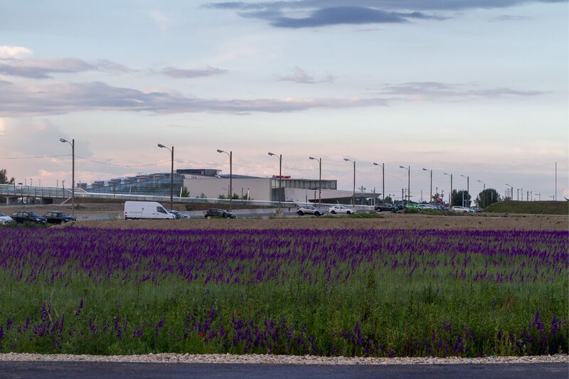
From SmartHubs
Lukas Knott (talk | contribs) |
|||
| Line 14: | Line 14: | ||
|city=Vienna | |city=Vienna | ||
|coordinates=48.23422, 16.50468 | |coordinates=48.23422, 16.50468 | ||
| − | |pt-services=2, 3 | + | |initiation=Public Transport provider initiated |
| − | |s-bikesharing=2 | + | |pt-services=1, 2, 3 |
| − | |mobility-related-services=1 | + | |s-bikesharing=2, 3, 4 |
| − | |info-logo= | + | |s-kickscootersharing=2, 3, 4 |
| + | |s-taxi=2 | ||
| + | |mobility-related-services=1 | ||
| + | |info-logo=Yes | ||
|info-pillar=No | |info-pillar=No | ||
|info-wayfinding=No | |info-wayfinding=No | ||
Revision as of 12:51, 16 January 2023
Picture

Typology
urban neighbourhood hub - small (two shared modes, <10 vehicles)
Status
planned
partly realized (train, metro and bus connection) branding as Wiener Linien mobility station planned for 2022 2 tram lines planned till earliest 2024
planned: stationary carsharing, cargo bike sharing, tram, shopping
Short Description
public transport node on the northern edge of Seestadt Vienna
Location
aspern Seestadt
Vienna, Austria
Networks
Living Lab
Physical Integration
Level 0 (target: Level 3)
Definition 0 (No physical integration): One shared transport mode, not at walking distance to public transport, no integration between the modes. No universal design criteria are considered
existing transfer hub between metro, train and bus
Digital Integration
Level 0 (target: Level 1)
Definition 0 (No digital integration): No digital integration of shared and public transport mode options offered at the hub. There are separate services and platforms for each mode. No universal design criteria are required
via Wegfinder, Wien Mobil
Democratic Integration
Level 0 (target: Level 2)
Definition 0 (No involvement): No involvement or consideration of stakeholder interests and user needs.
basic participatory processes on the whole area (environmental assessment process)
Initiation of the hub
Public Transport provider initiated
Spatial facilities
station, P+R
Services
3 PT services:
bus
train
metro
3 shared services:
Bike sharing
Step/kick scooter sharing
Taxi
1 mobility-related service:
Parking for private two wheeler vehicles
Catchement Area
regional
Neighbourhood Characteristics
suburban, urban development area with future high density
Information, Visibility and Branding
logo or branding
Planner app
A multimodal travel planner is available with which at least public transport and one shared mode at the hub can be planned.
Research Projects
Governance
Local Governance